



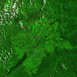

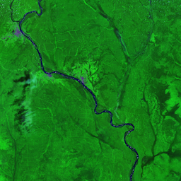
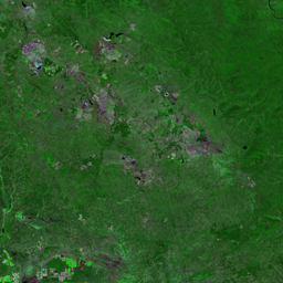




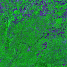

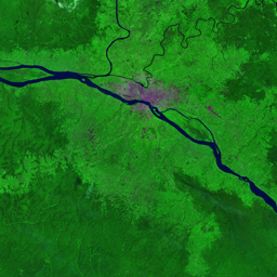
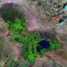

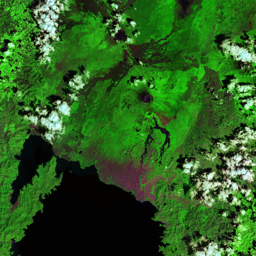

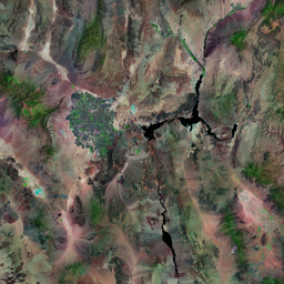
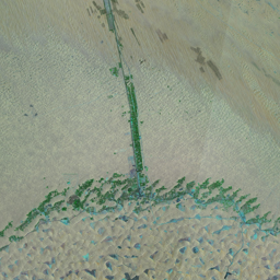
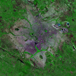
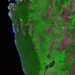


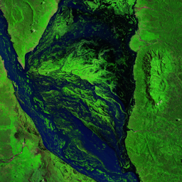


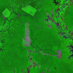

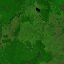


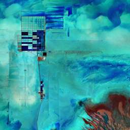
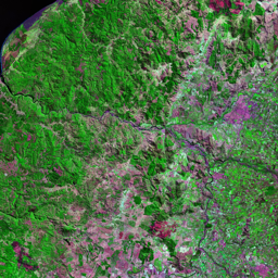
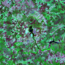
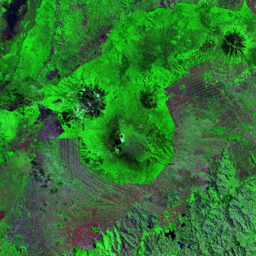

A pattern of deforestation concentrated along the local roads in the Nord-Ubangi and Mongala provinces of the DRC can be seen clearly in the 1986 image as loops of light green through the otherwise dense rain forest. In the 2001 image, these deforested corridors have widened, almost to the point of joining. Most of this deforestation is the result of agricultural conversion, fuelwood collection, settlement, and artisanal logging. Networks of logging roads can also be seen within the patches of largely intact forest since 2001. While industrial logging has had a relatively small impact in the DRC in the past, it has recently become the most extensive form of land use in Central Africa. More than half of the area visible in these images is under logging concession. The selective logging practised by commercial logging companies has been shown to have long-lasting impacts on forest composition. Logging roads have been shown to significantly increase bushmeat hunting. In addition to local and logging roads, a 2015 study for the World Bank suggests the road from Bangui, CAR, to Kisangani, DRC, be improved as part of a continental road network. The study shows that the network would increase trade on this route enormously. It also acknowledges concern that parts of the road network that would experience the greatest increase in trade correspond to areas with the highest biodiversity
Use shift + scroll to zoom the map
Use shift + scroll to zoom the map