Environmental Hotspots
(for testing only)

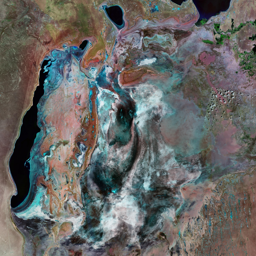


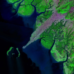
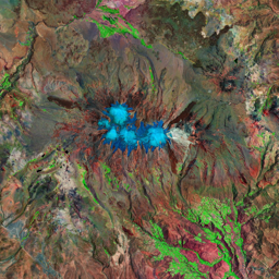
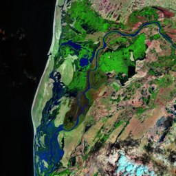


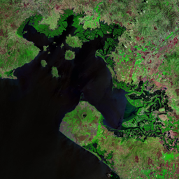

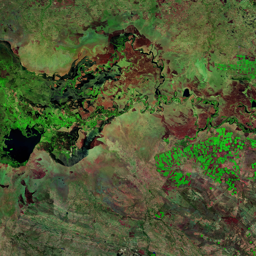
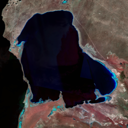
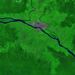
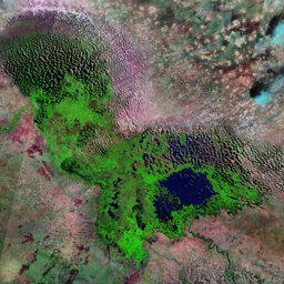

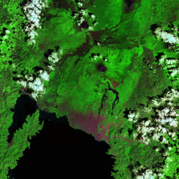

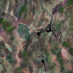
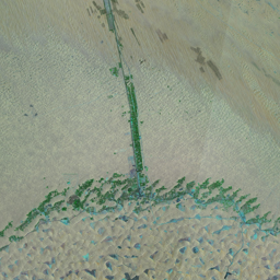
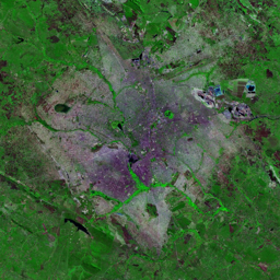
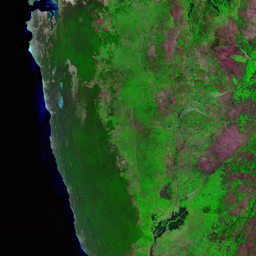


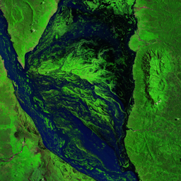


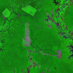

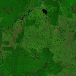
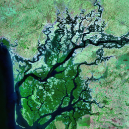

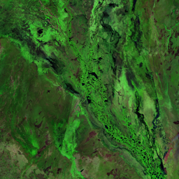

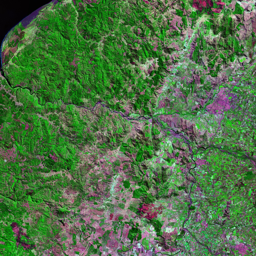
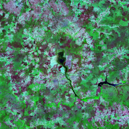
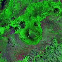
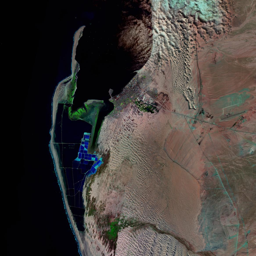

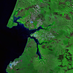
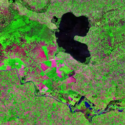
Located at the southern edge of the Sahara Desert, Lake Chad is bordered by Nigeria, Niger, Chad, and Cameroon. The lake was once the second-largest wetland in Africa, supporting a rich diversity of endemic animals and plant life. The Lake Chad drainage basin, a 2,500,000 km2 hydrologically closed catchment, extends to eight countries: Algeria, Libya, Niger, Chad, Sudan, Central African Republic, Cameroon, and Nigeria. It is home to over 20 million people who derive direct or indirect livelihoods from the lake. Most of the region's rainfall occurs in the southern one-third of the Lake Chad drainage basin, contributing about 90 per cent of the basin's runoff. The northern two-thirds, however, are dominated by arid conditions. Climate variability and increased water consumption by the area's inhabitants have changed the water balance within the Lake Chad drainage basin, and continue to do so. Since the early 1960's, rainfall over the basin decreased significantly while irrigation increased dramatically over the same period. The lake is especially susceptible to climatic variability as it is rather shallow, with an average depth of 4.11 m. As a result of decreased rainfall and increased water usage, the extent of Lake Chad decreased by 95 per cent over 45 years. In the past several years, water levels in Lake Chad have increased and decreased periodically . But the lake still remains a remnant of its former self. As these satellite images show, the surface area of the lake has declined dramatically over time. The 2007 image shows significant improvement over previous years, but the extent of Lake Chad is still far smaller than it was three to four decades ago.
Use shift + scroll to zoom the map
Use shift + scroll to zoom the map