Environmental Hotspots
(for testing only)


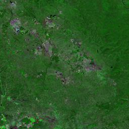
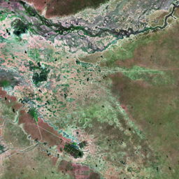


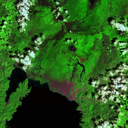

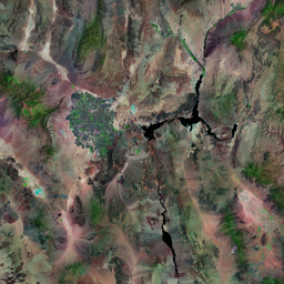
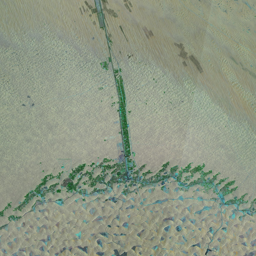
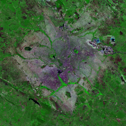
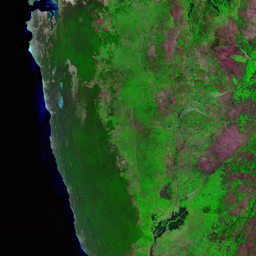


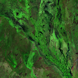

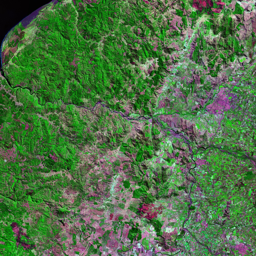

Santa Cruz is situated in Bolivia's rich, fertile lowlands, a region highly suitable for agriculture. In the 1986 satellite image, the region's forested landscape appears as a dense, essentially unbroken expanse of deep green that extends to the Rio Grande (Guapay) Riverwith a few roads linking the region to other population centers. As a result, large numbers of people migrated to the area. A large agricultural development effort (the Tierras Baja project) led to widespread deforestation as forests were clear-cut and converted to pastures and cropland. By 2003, almost the entire region had been converted to agricultural lands. In the area north and west of Los Cafes (upper left), notice the grid of squares on the landscape, each with an internal star-shaped pattern. At the center of each square is a small community.
Use shift + scroll to zoom the map
Use shift + scroll to zoom the map