Environmental Hotspots
(for testing only)

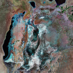
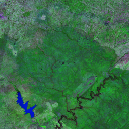
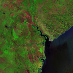


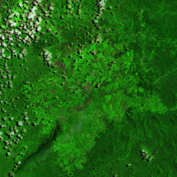

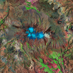
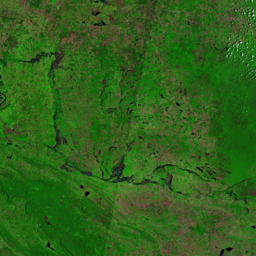
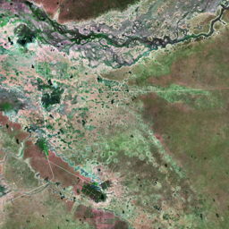


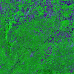

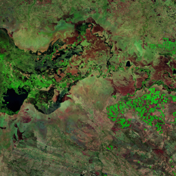

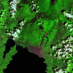

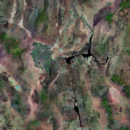
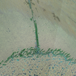
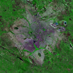
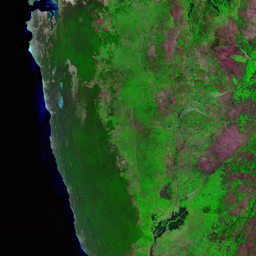


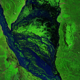


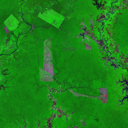

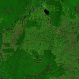
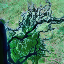
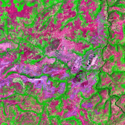
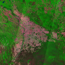
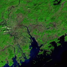

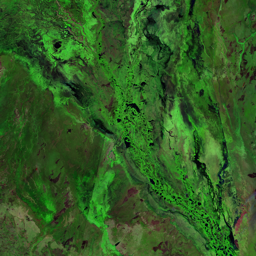

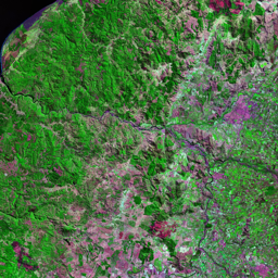
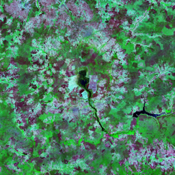
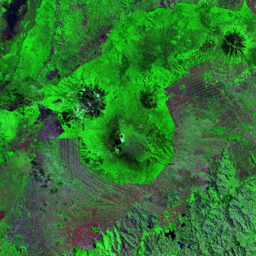

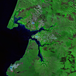
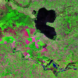
The Virunga Park area is home to over half of the world's 700 surviving mountain gorillas (Gorilla beringei beringei). In an area approximately 40 km by 12 km with an elevation ranging from 2 300 to 4 507 metres there are a variety of ideal gorilla habitats including bamboo and montane forests. The area includes Mgahinga National Park in Uganda, Volcanoes National Park in Rwanda and the Mikeno (Gorilla) sector of Virunga National Park in DRC. Surrounding these protected areas, however, are some of the densest human populations in Africa. In addition to population pressure, armed conflict in the region has made habitat and species protection very difficult. In the 1978 image, a line between the protected areas and the populated agricultural areas surrounding the parks is already apparent. While the boundary of the parks has remained largely intact since the mid-1970s, during the 1990s and early 2000s, large numbers of people moved into the area surrounding the parks, many of them refugees from armed conflict. A report by the Institut Congolais pour la Conservation de la Nature documented a large coordinated influx of people from outside the area in May and June of 2004. The report estimated that 15 km2 of land at the west edge of the Park were deforested during this time. The decline in areas of green outside the protected areas suggests that few fallow fields and little natural vegetation remain-a sign of the agricultural intensity in this area.
Use shift + scroll to zoom the map
Use shift + scroll to zoom the map