Environmental Hotspots
(for testing only)


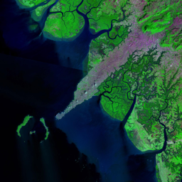
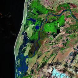


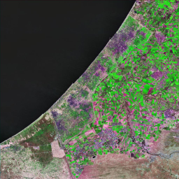


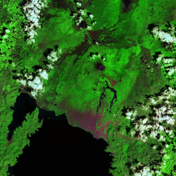

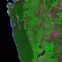


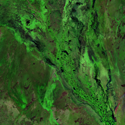

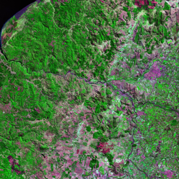

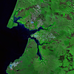
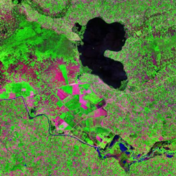
The border between Guatemala and Mexico runs through Mexico's Chiapas Forest and Guatemala's El Peten. In serie of images, the border is easy to see until 2000 (vertical limit, not the diagonal one which is the limit between 2 satellite images combined). The region crossed by this border was once biologically very diverse. On the Guatemalan side, it still is until 2000, as most of the El Peten remains as closed canopy forest because of lower population densities and the protected status of the Sierra de Lacondon and Laguna del Tigre National Parks. Across the border in Chiapas, however, a larger and increasing population has an obvious effect on the landscape with forest converted to cropland or pasture.
Use shift + scroll to zoom the map
Use shift + scroll to zoom the map