Environmental Hotspots
(for testing only)


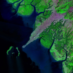
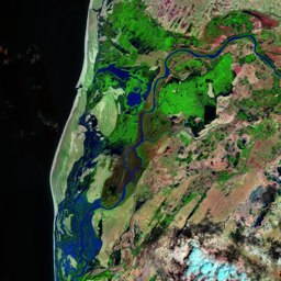


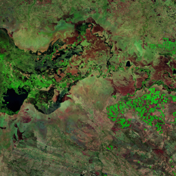
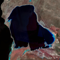
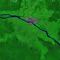
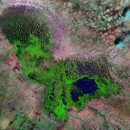

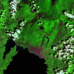

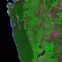


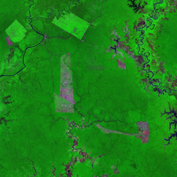

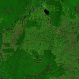
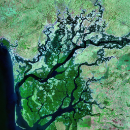
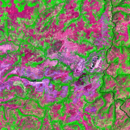
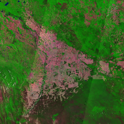
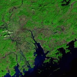

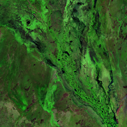

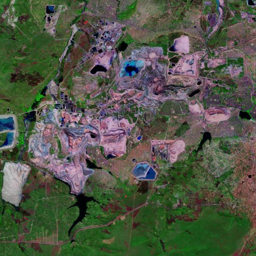

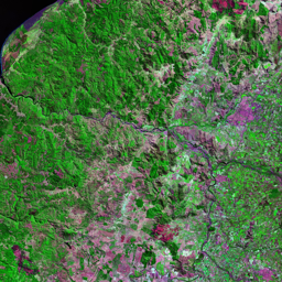
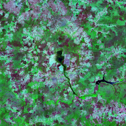
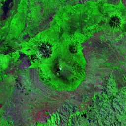

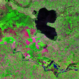
Indonesia is the second largest producer of palm oil in the world, after Malaysia. The drive to meet the demand for palm oil is resulting in conversion of forested areas into palm oil plantations. This serie of satellite images reveals how a combination of transmigration, logging interests, and palm oil plantation development have transformed an area that was previously tropical lowland rain and swamp forest. The 1990 image depicts what appears to be a pristine tropical forest, with a few roads as the early signs of the coming development in the south. By 1996, there is a network of road and work camp for a plantation that reaches its full extent in the 2007 image. On the same image you can see the clear cut (in purple)for another plantation to the west. By 2015, the original two plantations have fairly mature tree canopy that partially blends with the surrounding forest, and clear cut are ongoing on other future plantations, with ongoing active fire (intense red color).
Use shift + scroll to zoom the map
Use shift + scroll to zoom the map