Environmental Hotspots
(for testing only)

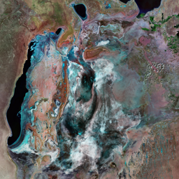
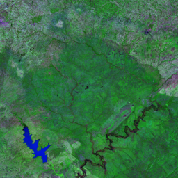
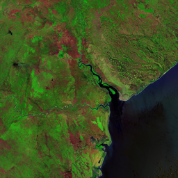


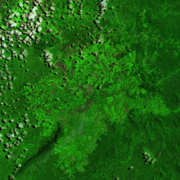

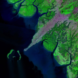
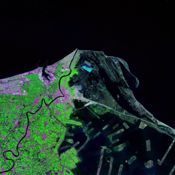
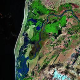


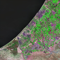


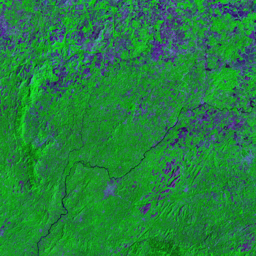
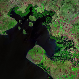

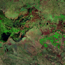
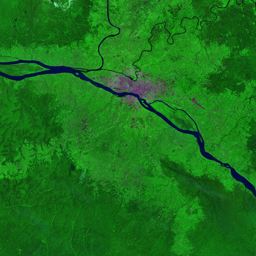

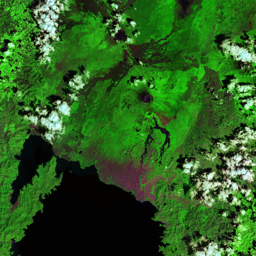

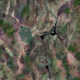
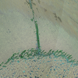
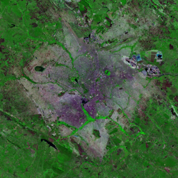
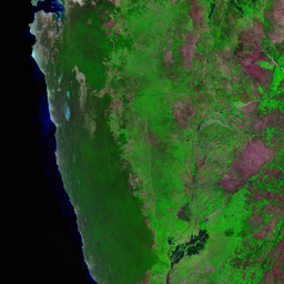


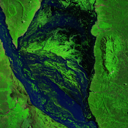


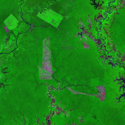

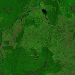
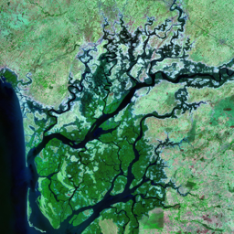
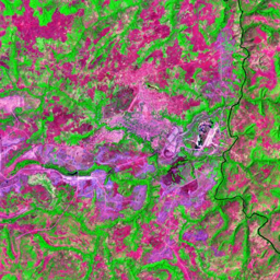
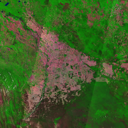
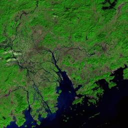

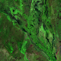

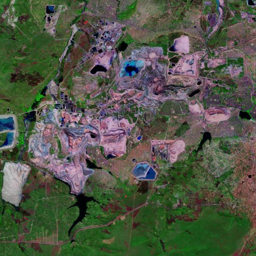
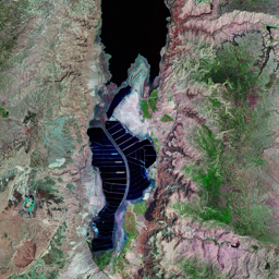
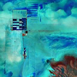
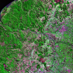
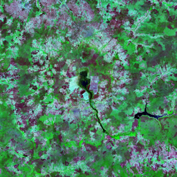

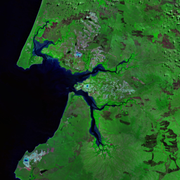
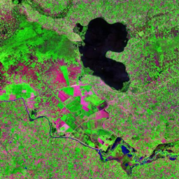
The Niger River Delta spans the coast of Nigeria from the Benin River in the west to the Imo River in the east. The delta supports the world's third-largest mangrove forest, and is home to over 150 species of fish, West African manatees, hippopotamuses, spot-necked swamp otters, and rare pygmy hippos. Since the discovery of oil in the delta in the 1950s, the promise of improved lives through a share of the oil wealth has eluded area residents. Instead, they have found their traditional livelihoods increasingly undermined by environmental degradation. The 1986 image shows the delta 20 years after oil operations began in the early 1960s. Concentrations of oil wells can be easily identified in 1990 image (flashy red spots). Also visible are a large storage facility, liquefied natural gas plant and terminal station on Bonny Island. Currently, about 400 oil and gas fields and over 1200 oil wells are located in the delta area. Between 1976 and 2000 there were more than 5700 oil spills totaling three million barrels of oil. In addition, between 70 and 90 per cent of the natural gas from these oil fields is flared (burned as waste), releasing massive amounts of carbon dioxide into the atmosphere, causing local air pollution and acid rain, and wasting roughly US$300 million per day worth of energy. The urban expansion of cities is also clearly visible.
Use shift + scroll to zoom the map
Use shift + scroll to zoom the map