Environmental Hotspots
(for testing only)


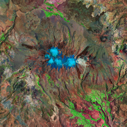


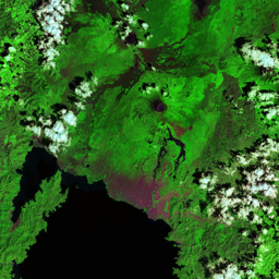

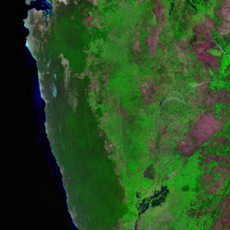


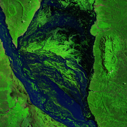


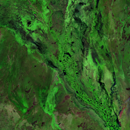


Coropuna, a dormant compound volcano in the Andes of southeast-central Peru, is characterized by its multiple perennially snow-covered summits, known as Nevado Coropuna. This region features the most extensive ice cap within Earth's tropical zone, hosting numerous outlet glaciers descending to lower elevations. Below 5,000 meters, the landscape transitions through various vegetation zones, including trees, peat bogs, grasslands, agricultural areas, and pastures. Coropuna boasts the largest ice cap in the tropics, surpassing the previously considered largest, the Quelccaya Ice Cap located 250 km farther northeast. A 2019 study noted that Nevado Coropuna glacier lost 24% of its mass over the past thirty years, and a 2018 estimate suggests that the ice cap will endure until approximately 2120. The retreat of Coropuna's glaciers poses a threat to the water supply for tens of thousands of people dependent on its watershed. Furthermore, interactions between volcanic activity and glacial changes have generated mudflows, posing potential hazards to nearby populations. To address these concerns, the Peruvian geological agency INGEMMET closely monitors Coropuna and has issued a hazard map for the volcano. The retreat of the Coropuna ice cap aligns with patterns observed in other regions of Peru, including the Cordillera Blanca, Cordillera Vilcanota, and the mountains Ampato, Quelccaya, and Sabancaya.
Use shift + scroll to zoom the map
Use shift + scroll to zoom the map